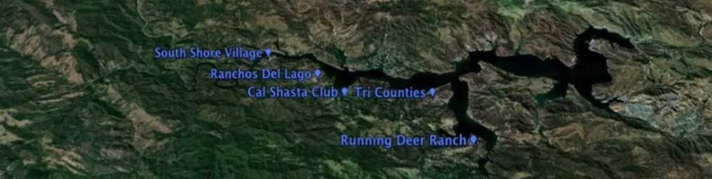
At full capacity, the lake is 18 miles long and has 165 miles of shoreline. It covers an area of 5,370 acres and holds 377,000 acre-feet at max level. The max capacity is allowed by May 1. The source of water is runoff from the surrounding hillsides during the rains.
As a point of reference on the lake elevation levels (above sea level)
- 825 ft = crest of dam (max. level possible during a Probable Maximum Flood)
- 800 ft = top of spillway, max. level allowed
- 786.5 ft = Town Creek lower crossing passable
- 748 ft = drought level (min. fish and game releases reduced from 25 cfs to 10 cfs)
- 740 ft = start to effect private launch ramps
- 730 ft = lose private launch ramps
- 727.7 ft = bottom of RDR launch ramp
- 687.8 ft = min. pool, no release to Salinas River allowed (22,300 AF remains, of which 17,000 AF can be used by SLO County via the Nacimiento Pipeline Project)
- 670 ft = physical min. pool, lowest elevation where gravity flow from outlet works no longer functions
Some statistics on lake release levels at the dam:
| CFS (cubic feet/sec) | Gallons/Day |
| 35 | 22.6 million (0.01′ drop at 800′; 0.02′ drop at 750′) |
| 325 | 210.0 million (0.13′ drop at 800′; 0.22′ drop at 750′) |
For information on the daily releases, elevations, etc go to:
For information on this years Release Schedule, go to: